
Summary
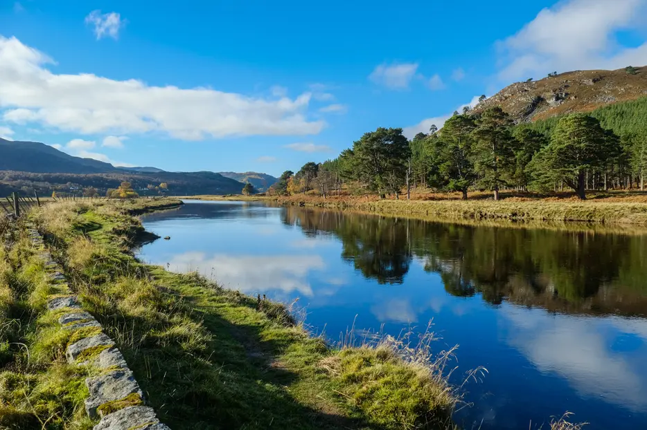
This pleasant circular walk from Braemar takes in the confluence of the two main rivers, the Dee and the Clunie and then climbs gently through birch woods to return to the centre of the village. There are good open views up the strath and the chance to explore the pretty centre of Braemar.


Terrain
Riverside paths (rough at times) and tracks.
Getting there
Start
Braemar village centre.
Public Transport
Regular bus service between Braemar and Aberdeen.
Start Grid Ref
NO151916

Stage 1
Start the walk from the public car park on the A93 (height barrier), almost opposite the Invercauld Arms, on the Ballater side of Braemar. From here take the path signed for River Dee from the corner of the car park nearest the village and cross the River Clunie on a wooden footbridge. On the far side turn right to follow a narrow path alongside the riverbank. Keep on this path as it keeps to the right of a fence and follows the bends of the river. After a while, Braemar Castle, can be seen across the river and fields ahead.

Stage 2
Keep following the river bank, passing a sewage works and heading through a wooden gate. Eventually the path runs along a stone embankment and the confluence of the River Dee and River Clunie is reached. There are some lovely Scots pines on the far bank. Follow the path as it turns sharp left and follows the River Dee upstream. On a fine day there are good views towards the Cairngorms ahead.

Stage 3
Keep on the path and follow it as it curves slightly away from the river and rejoins it at a bend. A bit further on a couple of steep paths and then a more formal one head up the bank to the left offer short cuts to the Braemar - Linn of Dee road, but our walk continues closer to the river. Continue heading towards a large house seen ahead on the top of a bank. Before it is reached the route turns sharp left uphill with a small arrow marking the way. When you reach the road, cross the stile/fence and go across the road to follow the path directly opposite.

Stage 4
The path heads uphill and soon reaches a prominent bench with good views over the strath below. The path turns left just before a gate to follow the outside of the fence. The path soon reaches a track which very shortly leads to the end of the Chapel Brae road. Turn left, following the road downhill passing a duck pond and car park on the right and then houses on either side.

Stage 5
There is a good view of the grounds where the Braemar Gathering, or highland games, is held each year, on the right towards the bottom of the hill. Turn right at the roundabout and follow the main street past the community hall back into the centre of Braemar. To return to the start of the walk, continue over the bridge and keep left until you reach the Invercauld Arms and the car park on the left beyond.

Route Profile
